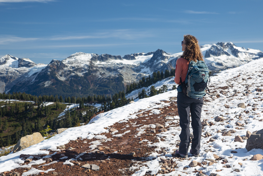
Image credit: Chris Sawicki
Maya Daurio (PhD candidate in Anthropology) works in the UBC Library Research Commons providing consultations and workshops in GIS, with a specialty in ArcGIS.
Maya’s doctoral research involves partnering with local organizations to map the distribution of languages and document the lived experiences of migration, mobility, and settlement among marginalized-language communities in the urban centres of New York City (NYC) and Kathmandu. This information helps identify social, political, and public-health needs in linguistically-minoritized communities, facilitating advocacy for inclusive and equitable language policies.
As a mapping expert and avid outdoor enthusiast, one comes to understand Maya’s choice of current favourite research tool: CalTopo. Maya explains in her own words how this tool has come to be her favourite and mean so much to her:
My current favourite research tool, CalTopo, is not directly related to my PhD dissertation research, but involves maps and data, and is one of many resources I use to compile my work with the Research Commons. I have used CalTopo for a number of years as a planning tool for hiking and backcountry skiing. CalTopo is a browser- or app-accessible web map with multiple seamless basemap layers, including topographic maps, aerial imagery, and shaded relief. Anyone can go to CalTopo and access interactive maps with seamless layers. Although we all have unprecedented access to a variety of tools, data, and mapping platforms, CalTopo’s accessibility and ease of use prove exceptional.
Although I regularly use professional GIS software, I have long used CalTopo to create maps with uploaded GPX files for my hiking or ski trips. Using a topographic basemap, I can also add contours and slope-angle shading in order to discern whether I might be crossing avalanche-prone slopes while skiing, for example. Contours and slope-angle shading are just two of the multiple layers that can be checked on or off on your map. It is also easy to export a custom-built map to a georeferenced PDF, and then use it on an app such as Avenza (which uses your phone’s GPS to track your location on the map).
Two months ago, my family’s home in Colorado was destroyed by the largest wildfire in state history. I learned from my aunt that CalTopo had certain wildfire-related layers, and I was able to create a custom map with a unique URL. It displayed my family’s house in relation to the fire perimeter. The user could choose to view wind direction and speed, as well as live fire detection and hot spots, derived from satellite data. It would have required much more time, effort, and research to create such a useful map using desktop-GIS software or a proprietary-online-GIS platform. The satellite data is particularly useful and is a good predictor of where the wildfire perimeter may expand. My family, neighbours, and I continue to return to this map to track ongoing developments for this fire which has been burning for two-and-a-half months.
Check out this sample map that Maya made in CalTopo. Fortunately the fire is no longer growing. As of Nov, 2, 2020 you can see the fire perimeter and wind direction. Maya’s sample map in CalTopo.
Special thanks to Maya for sharing her knowledge about this Research Power Tool and also for the story behind how she uses it. Below you can find more information on how to use CalTopo, Maya’s Awesome List, and also booking an appointment with Maya or one of our colleagues to help you with your GIS-research-related questions.

Part of the UBC Library Research Commons Research Power Tools series.
Further resources:
Use and learn CalTopo:
Maya recommends going to the CalTopo website and playing with its features. Also, find more information about its features here: https://caltopo.com/about/explore/features/.

Fire resources Awesome List:
Maya has curated an Awesome List of fire-related resources. Check it out here: https://github.com/ubc-lib-geo/fire-resources-list.Need help with your GIS- or mapping-research questions?
Maya Daurio, GIS Graduate Academic Assistant
Schedule appointment
June Skeeter, GIS Graduate Academic Assistant
Schedule appointment
Evan Thornberry, GIS Librarian
evan.thornberry@ubc.ca | Schedule appointment
Paul Lesack, Data/GIS Analyst
paul.lesack@ubc.ca